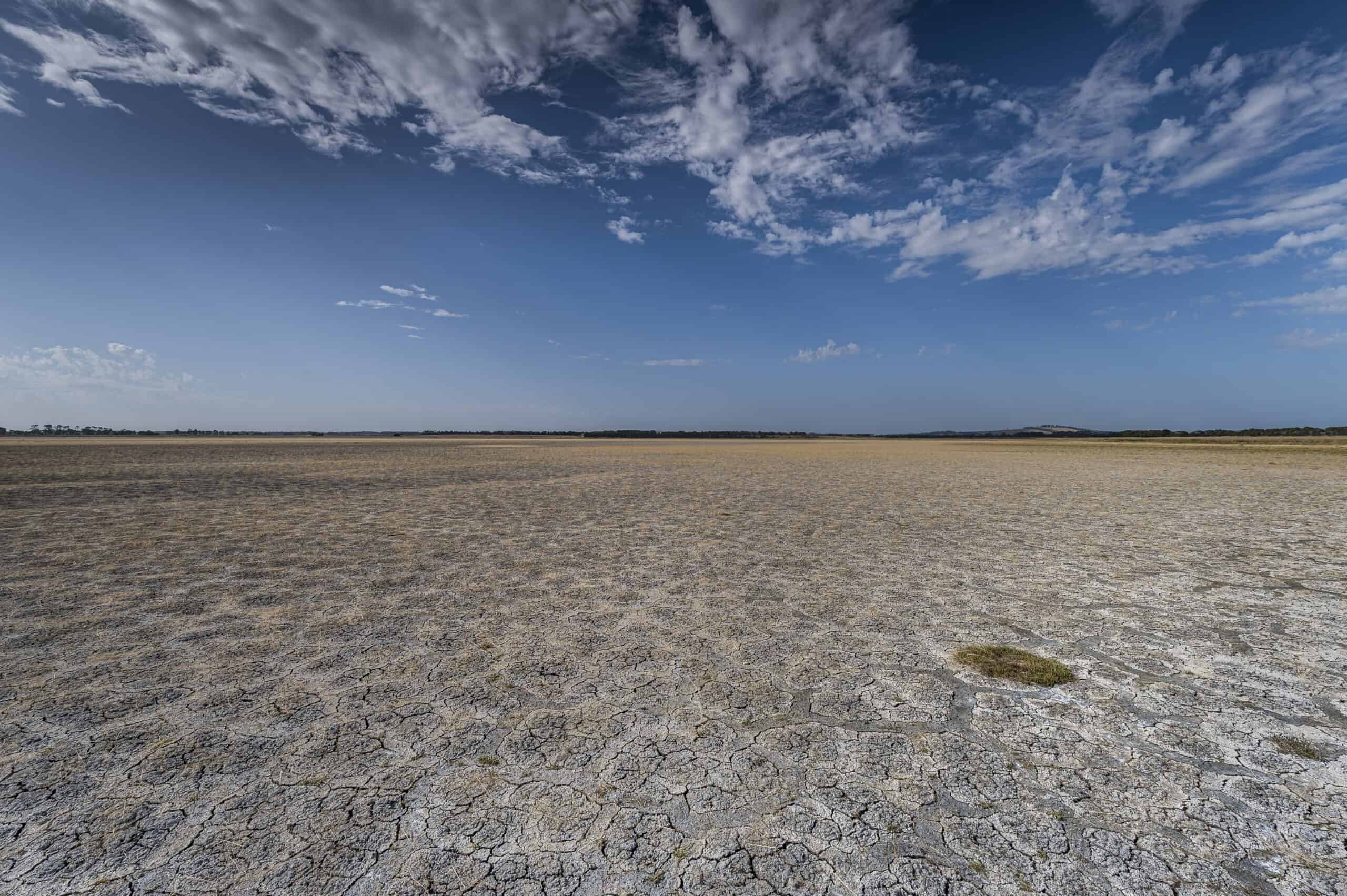
Yarra Valley Water has unveiled a new map-based tool to show the threat climate change may have on its infrastructure in the future. The water utility has warned that extreme weather events, including bushfires, flooding and droughts, are increasingly impacting our water supply and essential infrastructure.
Yarra Valley Water announced the tool at the OzWater ‘24 conference in Melbourne on the 1st May 2024.
Dr Lisa Ehrenfried, Manager Resilience and Liveability at Yarra Valley Water, said this work marks a significant step towards Yarra Valley Water proactively managing climate-related risks and ensuring the resilience of its infrastructure.
“Victoria’s climate is already changing, becoming hotter and drier in recent decades, but with more intense rainfall bursts. This means we can’t rely on traditional risk assessment methods, which are based on historical data. Understanding what our climate may be like in the future, will help us to plan and adapt,” Dr Ehrenfried said.
Yarra Valley Water has partnered with Nation Partners to develop a Climate Resilience Risk Assessment tool tailored to address asset-related climate hazards, vulnerability and exposure.
The map-based tool uses data from a number of sources, including the Bureau of Meteorology and Department of Energy, Environment and Climate Action, and overlays it in Yarra Valley Water’s service area.
Dr Ehrenfried said planning for the worst-case scenario helps the water utility to assess risks to protect its sites more effectively.
“The map helps to identify potential future climate hazards to our assets and paints a stark image of what we have to prepare for. By taking action now, we can identify the risks earlier and ways to adapt to them,” she said.
Interventions can be made to reduce these hazards, including changing a building design or upgrading electric assets to make sure they can cope with rising temperatures.
“Early identification of vulnerable assets and mitigation opportunities are key to building a resilient network,” she said. “By addressing and implementing proactive risk mitigation measures, we can reduce potential water and sewerage service disruptions and costly repairs in the future,” she said.
The interactive tool covers a vast service area spanning from Wallan in the north to Warburton in the east. It allows users to view future climate information (including temperature, bushfire risk, rainfall and heatwaves) as maps and charts.
It was designed to compare climate data for specific locations across different time periods and climate scenarios, crucial for assessing infrastructure assets with varying service life. Yarra Valley Water assets such as pipes, tanks and pumps have an operational life of anywhere between 5 to over 100 years. The tool will be used to assess the climate impact on our assets so that we can determine the appropriate interventions.
Dr Ehrenfried said adopting a forward-thinking approach to climate change adaptation is critical to safeguard its essential services.
“This approach helps us to build our resilience to climate change and implement actions that reduce our vulnerabilities, and support long term planning for an uncertain future,” she said.
.


